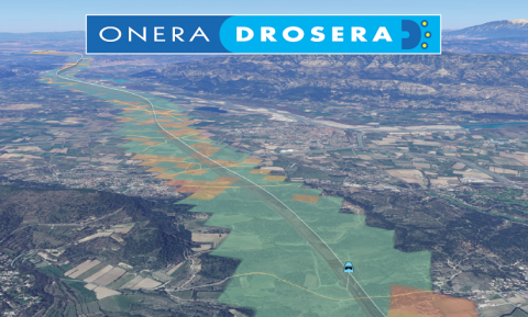
DROSERA© is a software for drone mission planning. It allows computation of indexes related to risks induced to people and transportation networks. It facilitates the evaluation of ground risks in the SORA process.
DROSERA© has been developed in the context of a research-industry partenership with ALTAMETRIS (SNF RESEAU) and RTE. It has been designed to fulfill operational requirements of drone operators and manufacturers.
DROSERA© has benefited from an open approach, accounting for exchanges with participants to the Working Group "Facilitation des opérations de grande élongation" led by the French Civil Aviation Safety Directorate (DGAC/DSAC).
DROSERA© software is distributed under an ONERA proprietary license.
Contact for information or licences
News !
31/01/22: New release of DROSERA© (v3.3.1). This new version includes the following features:
- population data for "territoires d'outre mer",
- iGRC determination using either the iGRC Table provided in SORA or the JARUS formula as allowed by SORA.
12/07/24: Release of DROSERA© (v3.3) enabling risk analysis on the adjacent area, identification of segments of railways or power lines inside the ground risk footprint, update of the critical area computation model (compatibility with SORA 2.5).
15/03/24: First commercial release of DROSERA©.
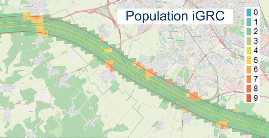
Risk indexes - Population densities and risk classes, maximum values and distribution over the ground footprint and the adjacent area | Image
|
Image
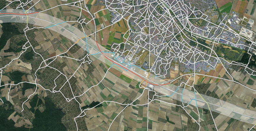
| Uses for SORA (SORA 2.0 and 2.5) - Accounting for flight volumes (Flight Geography, Contingency Volume, Ground Risk Buffer) and the Adjacent Area |